Our Services
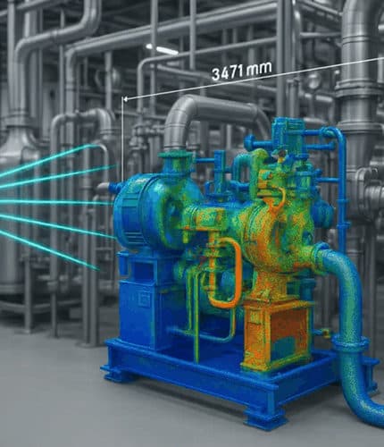
3D Laser Scanning & Reality Capture Services in Nigeria
End-to-end reality capture solutions — from field scanning to final deliverables. Every service is designed to give you the precise spatial data needed for confident decision-making.
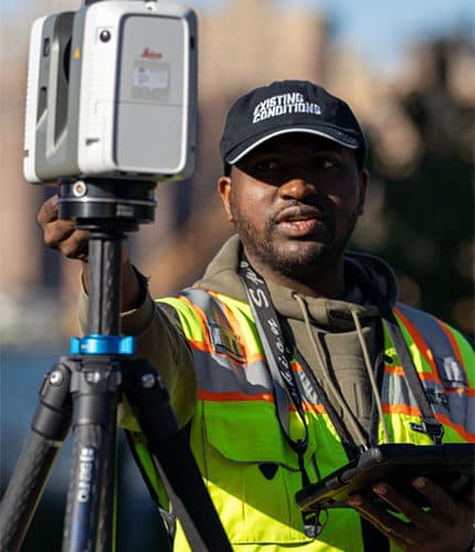
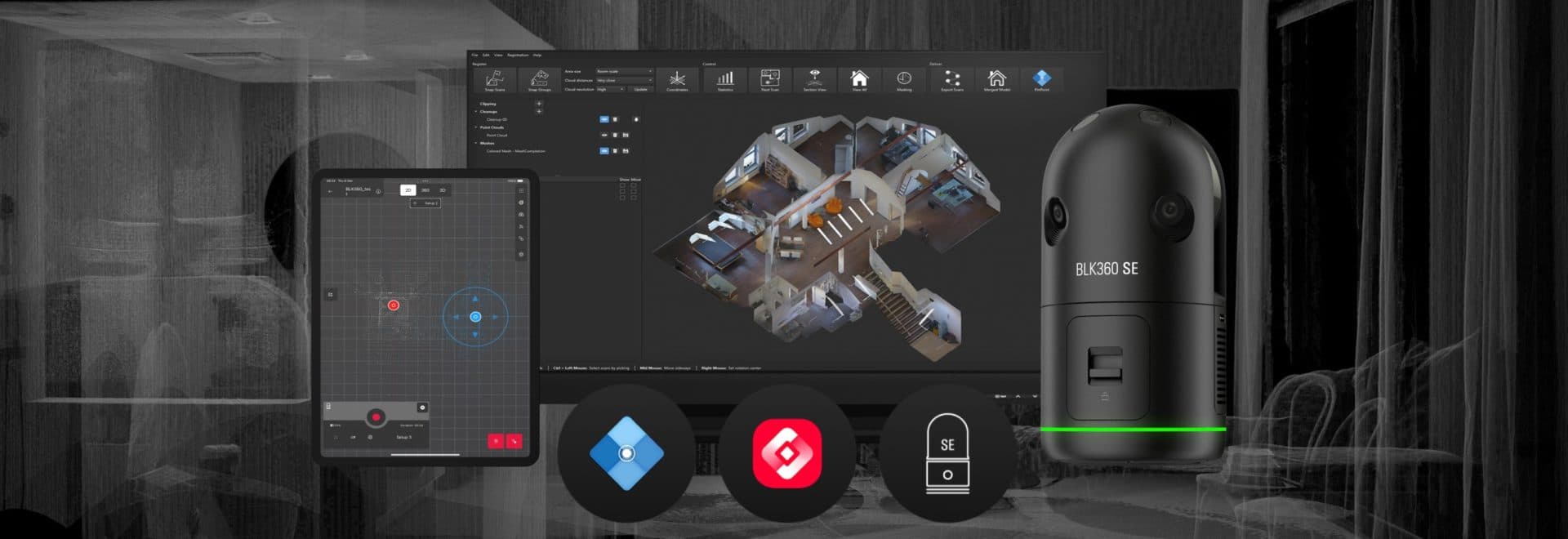
3D Laser Scanning
High-speed terrestrial laser scanning capturing millions of data points per second for complete spatial documentation of any environment.
- Terrestrial and tripod-mounted scanning with survey-grade instruments
- High-density point cloud capture at up to 2 million points per second
- Colour-mapped scan data with photographic overlays
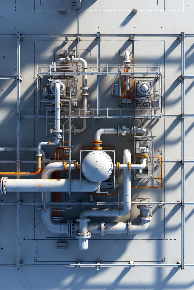
Scan to BIM
Convert point cloud data into intelligent BIM models for renovation, retrofit, and facility management projects across Nigeria.
- Revit, ArchiCAD, and open IFC deliverables
- LOD 100 through LOD 400 modelling to an agreed specification
- Architectural, structural, and MEP disciplines
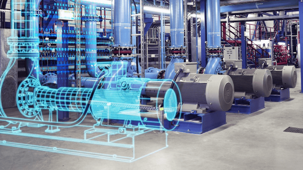
Digital Twin
Build virtual replicas of physical assets for real-time monitoring, simulation, and data-driven decision making.
- Photorealistic 3D virtual walkthroughs accessible from a web browser
- Asset tagging with links to datasheets, maintenance records, and documentation
- Integration with facility and asset management systems
As-Built Documentation
Accurate as-built records of existing structures, pipelines, and facilities — eliminating costly site revisits and design clashes.
- Complete existing-condition capture of buildings, plants, and infrastructure
- 2D floor plans, elevations, and sections drawn from scan data
- Deviation analysis against original design drawings
Point Cloud Processing
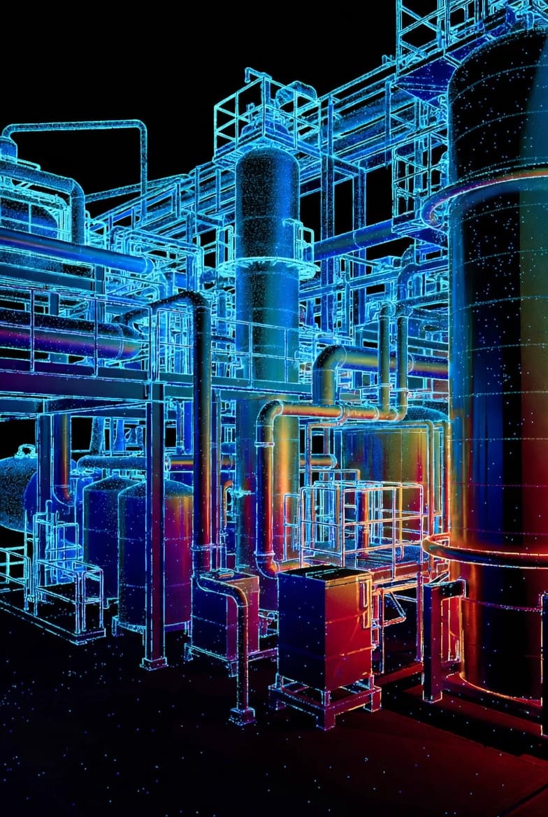
Expert registration, cleaning, and deliverable generation from raw scan data — point clouds, meshes, 2D drawings, and 3D models.
- Scan registration with documented accuracy verification
- Noise removal, artefact cleaning, and data structuring
- Processing of third-party captured data
LiDAR Surveying
Aerial and ground-based LiDAR surveys for topographic mapping, volumetric analysis, and large-scale infrastructure projects.
- Aerial LiDAR for corridors and large sites
- Terrestrial LiDAR for detailed infrastructure capture
- Ground classification and vegetation filtering
Dimensional Control
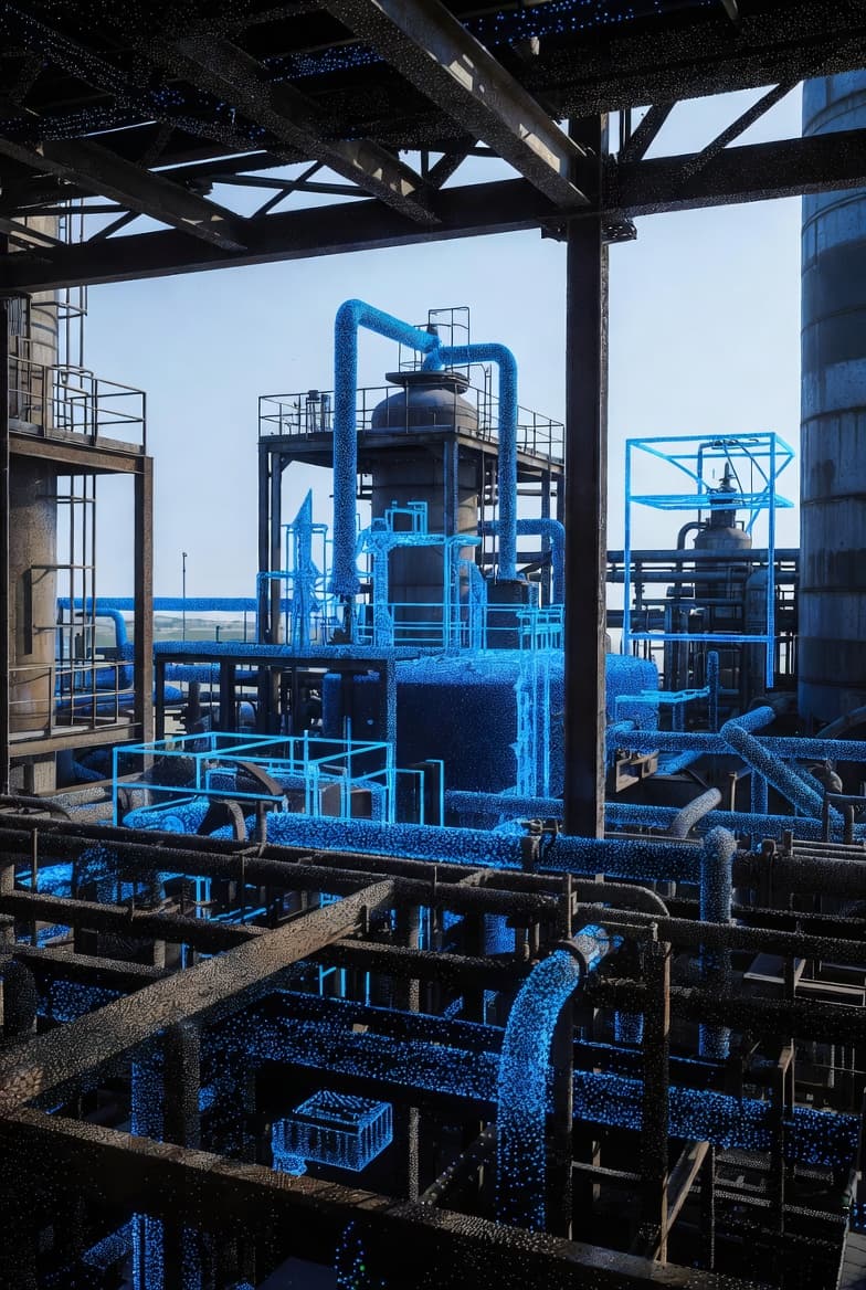
Verify construction accuracy against design models using 3D scan data. Detect deviations early, before they become expensive.
- Construction verification scanning at defined milestones
- Colour-mapped deviation analysis against design models
- Steel, concrete, and module fabrication verification
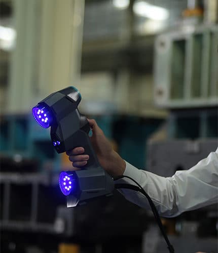
Heritage Documentation
Preserve critical heritage structures and document complex facilities with millimetre-precision 3D scanning.
- Non-contact capture safe for fragile structures
- Complete interior and exterior documentation
- High-resolution photographic overlay for material and condition records
Need Accurate Spatial Data for Your Project?
Contact us to discuss your scanning requirements. We'll recommend the optimal approach and provide a detailed quote.